ROOPAK GOSWAMI
Guwahati, Oct 7: Meghalaya would have to wait for some more years to get the facility of landslide forecasting.
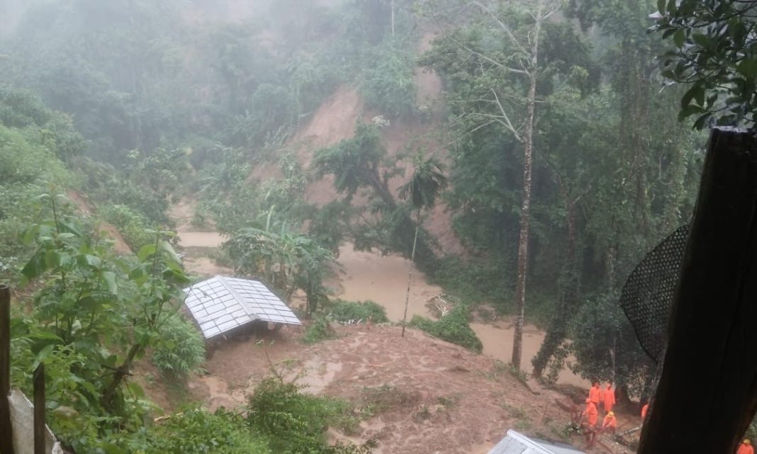
Meghalaya has numerous faults, shear zones and other tectonic features. Heavy rainfall, high seismicity and numerous tectonic features make the area susceptible to hazards like landslides. The region in the recent past has experienced several such events, e.g. the Sonapur landslide in the East Jaintia Hills district, the landslide in the Jowai area in the West Jaintia Hills district and the Mawlai-Umjapung landslide in the East Khasi Hills.
Experts say landslides is a topic of scientific interest, primarily due to the damages caused by landslides across the world. The forecast should provide the information regarding space and time of occurrence of landslides in order to develop them into operational landslide early warning systems (LEWS). The forecasts should provide useful information for the concerned authorities, which can help in reducing landslide risk.
Altogether 15 people in Meghalaya have died in the last couple of days of which majority of fatalities are due to landslides.
Though the Geological Survey of India has started a National Landslide Forecasting facility( NLFC) recently, but ths facility is presently available for Darjeeling, Kalimpong and Nilgiris districts only. The ultimate aim of NLFC is provide timely information on landslide forecasting to the stakeholders and to the community for preparedness, for increasing resilience, and for minimising the landslide risk.
” The basic data collection for Meghalaya is still going on for modelling” a senior official of GSI told TME.
The official said forecasting needs detailed data collection and testing. At this moment, 2030 is the target time though GSI is trying to bring it before that” he said.
“Our team will be visiting the sites soon for the post disaster studies. Those data are also being used” he said.
The NLFC will facilitate in having a 24×7 operational facility for forecasting of landslide hazard. It will develop and use robust, scalable, fault tolerant, cutting-edge state-of-art ICT technology commercially available in terms of hardware and software in different ICT landscapes to build a relevant ICT System for the use at enterprise level. It will provide early information of landslide forecasts to the local administrators and the community using relevant and effective communication tools to enable them to take timely actions.
It will integrate real-time rainfall and slope instability information for validating experimental models and also for attempting even nowcasting landslide hazards in future.


